
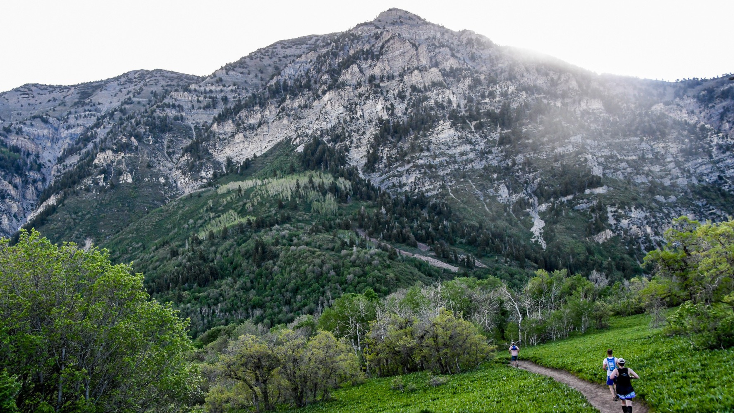
50 miles. 10,000 ft of gain. One loop.
The Course
Photo © Clay Shaw
Overview
Fifty miles. One loop. About 10,000 ft of gain.
A brutal, scenic loop through the Wasatch Mountains above Provo. Technical terrain, five major climbs, smooth and rocky descents, and views of the canyons and valleys below that stop you in your tracks.
43% single track and dirt trails, 38% dirt roads, 19% pavement. Nine aid stations, 4–7 miles apart. First run in 1997, it is the oldest 50-mile trail race in Utah and the second-oldest ultra in the state.
- 50Miles
- ~10,000 ftElevation gain
- 9,300 ftHigh point · Windy Pass
- 5:00 AMStart · Vivian Park
Map & GPX
Carry the route. Study the line before and have it with you during the race.
Mandatory: carry the course.
You are required to have the course loaded on your phone and/or GPS device before starting. The full course is marked, but over the years wildlife, cattle, and people have disturbed markings. Having the track on you at all times is your safety net if you reach a spot where you're unsure where to go. If you're using a watch for the track, we strongly recommend also carrying a phone for emergencies.
Elevation & Climbs
Five climbs from 1,100 ft to nearly 3,000 ft. The high point, 9,300 ft, comes after mile 40.
- Climb 1 · from mile 2.1Kyhv Peak overlook~2,700 ft
- Climb 2 · from mile 8.6Horse Mountain~1,500 ft
- Climb 3 · from mile 22.2Pole Heaven~2,250 ft
- Climb 4 · from mile 33.3Little Valley~1,100 ft
- Climb 5 · Highest pointWindy Pass · 9,300 ft~1500 ft
After Windy Pass it's nearly 4,000 ft down over the final 9+ miles to Vivian Park.
Aid Stations
Nine stations, 3.5 to 7.5 miles apart. The longest gap is the climb to Windy Pass.
Every station has a ham radio operator and checks your bib through. Medical support is at the start/finish and at Little Valley (AS 7, mile 33.5).
| # | Aid station | Mile | To next | Drop bag | Crew | Notes |
|---|---|---|---|---|---|---|
| 1 | Hope Campground | 5.5 | 5.3 mi | No | No | |
| 2 | Rock Canyon | 10.8 | 3.8 mi | No | No | |
| 3 | Horse Mountain | 14.6 | 6.3 mi | Yes | No | |
| 4 | Pole Heaven | 20.9 | 5.1 mi | Yes | No | Crew driving in = runner DQ |
| 5 | Hobble Creek | 26.0 | 3.9 mi | Yes | Yes | Pacers join here. Park fully off the road. |
| 6 | Sheep Canyon | 29.9 | 3.6 mi | Yes | No | Crew driving in = runner DQ |
| 7 | Little Valley (medical) | 33.5 | 7.5 mi | 2-gal bag max | 4×4 only | 3:00 PM cutoff. Crew not recommended. Longest gap starts here. |
| 8 | Windy Pass (light aid station) | 41 | 5.5 mi | No | No | High point, 9,300 ft. Plan for water only; anything more is a bonus. |
| 9 | Big Springs | 46.5 | 3.5 mi to finish | Yes | Yes | 3.2 mi up South Fork. Drive slow — runners on the road. |
Windy Pass: small table, big view.
Our Windy Pass crew hikes every bottle and bar up there themselves, so think of it as the mountain’s smallest aid station with its biggest view. Water, electrolytes, and some calories will be waiting. A full spread won’t, which is why the 13 miles from Little Valley to Big Springs is the one stretch where it pays to pack like you’re on your own.
Highest point on the course. Bring what you need to get down the other side.
- Water, Re-Lyte mix, Vfuel gells, electrolyte caps, carb drink
- Fruit, candy, pretzels, chips, potatoes, salt, sodas, sandwiches
- A ham radio operator and a bib check-in
- Medical · start/finish and Little Valley
- Drop bags · stations 3, 4, 5, 6, 7, 9
- Crew · Hobble Creek, Big Springs, and Little Valley by 4×4
- Food · may not be at Windy Pass
- A cup, bottle, or pack. This is a cup-less race.
- Gels and your own go-to fuel
- Anything you need for a dietary restriction. Nothing is guaranteed allergen-free.
- A filter for the 13 miles from Little Valley to Big Springs
Tell the aid station captain before you leave. Your bib is logged at every station by radio, and a runner who disappears without checking out starts a search.
Drop bags at the start by 4:45 AM, labeled with bib number and aid station. Little Valley bags: 2-gallon freezer bag maximum. Aid station cups are limited — bring your own cup, bottle, or pack.
3:00 PM cutoff at Little Valley (AS 7, mile 33.5). This is a safety cutoff so every runner has time to get up and over Windy Pass — the hardest part of the course — before dark.
Terrain
What's underfoot, mile by mile.
- 43% singletrack & dirt trail
- 38% dirt road
- 19% pavement
- Miles 0–2.1Provo River Trail past Bridal Veil Falls to the Bonneville Shoreline Trail turn.
- Miles 22.7–26.4Hobble Creek Road. Pacers may join anywhere along this 3.5-mile stretch.
- Final 3.7South Fork Provo Canyon to the finish at Vivian Park.
Trail Marking
Read the ribbons. Your GPX is the backup.
- OrangeYou're on course.
- Orange + blueCritical turn or junction. Slow down and look.
- No flagging for ¼–½ mileStop. Check your GPX.
Snow Conditions
June is still mountain weather.
Depending on the year, sections of the course may be snow-covered: around mile 11 after Rock Canyon for 2+ miles, and on and off approaching Windy Pass for about 4 miles plus roughly 2 miles after the pass. The course may be modified for snow. Changes will be communicated to registered runners.
